 Looking at a map of Rocky Mountain National Park, one could say that there aren’t many roads in the park. Bear Lake Road, Old Fall River Road, and Trail Ridge Road. That’s it for primary roads in the park. In fact, the park is designated 95% Wilderness, and most of the lakes and peaks that make up the Continental Divide are only accessible to hikers willing and able to spend a few hours huffing and puffing up thousands of feet in elevation. The exception to this is the awe-inspiring, can’t-miss-tourist-experience of Trail Ridge Road.
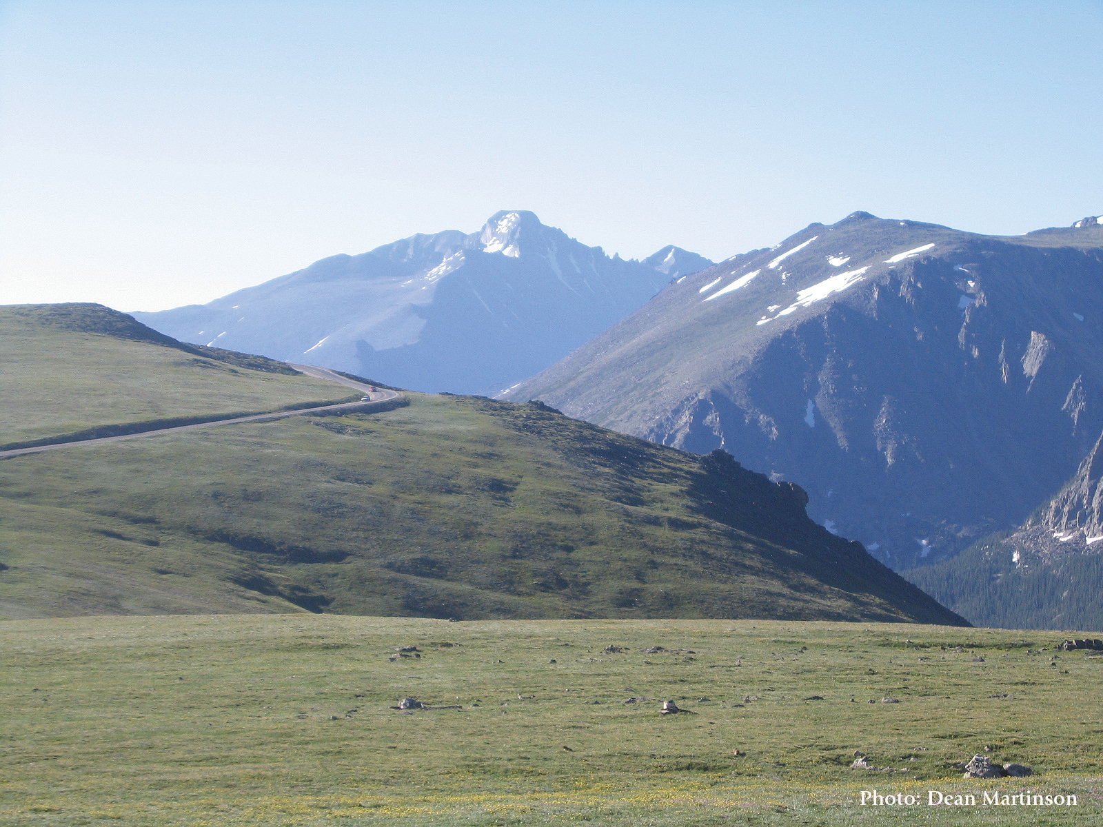
This 48-mile stretch of paved highway stands as the highest continuous paved road in North America, with its highest point being 12,183 feet above sea level. While this spot isn’t marked on the map, it can be found between the Lava Cliffs and Gore Range overlooks, just before the Alpine Visitor Center — the highest facility of its kind in the National Park System. This historic road guides visitors through the National Park, across the Continental Divide, and into the town of Grand Lake — but it does much more than that.
 The road roughly follows the Ute trail, the path that these Native Americans took thousands of years ago to cross between the Estes Valley and Grand Lake areas. There is evidence of rocks formed as game drives along Trail Ridge, strategically placed to trap animals in specific areas to be hunted, as well as wickiups in lower elevations, teepee-like structures which these nomadic people would use for shelter during the summer. The appeal of the Rocky Mountains is timeless, and as millions drive across Trail Ridge Road each year, they are following in the footsteps of these early inhabitants of North America who respected this land dearly.
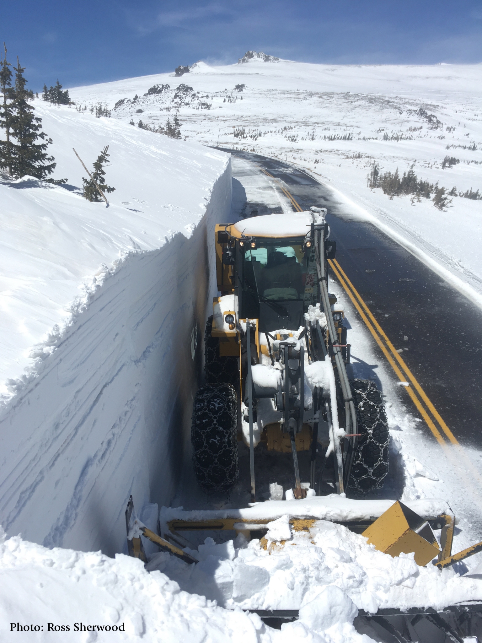
Every year after the Fourth of July, visitors have the chance to drive to the Alpine Visitor Center via Old Fall River Road. Constructed in 1920, this dirt road was cutting edge road construction at the time. However, with grades up to 16%, the automobiles of the era struggled, often climbing the hill in reverse because of their gravity powered engines. As the 20s roared on, congestion on the road increased, and dangerous snow conditions became more and more common. It was time for a change.
 The Great Depression left millions of Americans unemployed and available to work, and President Franklin Roosevelt put them to work as a part of the New Deal. The Civilian Conservation Corps had six camps in Rocky Mountain National Park that built trails, buildings and roads, including Trail Ridge Road. This was no easy task as workers could only work about four months out of the year due to winter conditions in the mountains. The road was completed in 1932 and was an outstanding engineering accomplishment of its day. Not only did it connect the two sides of the protected area, but it also linked the gateway communities of Estes Park and Grand Lake, boosting the economies of these two towns and the state.
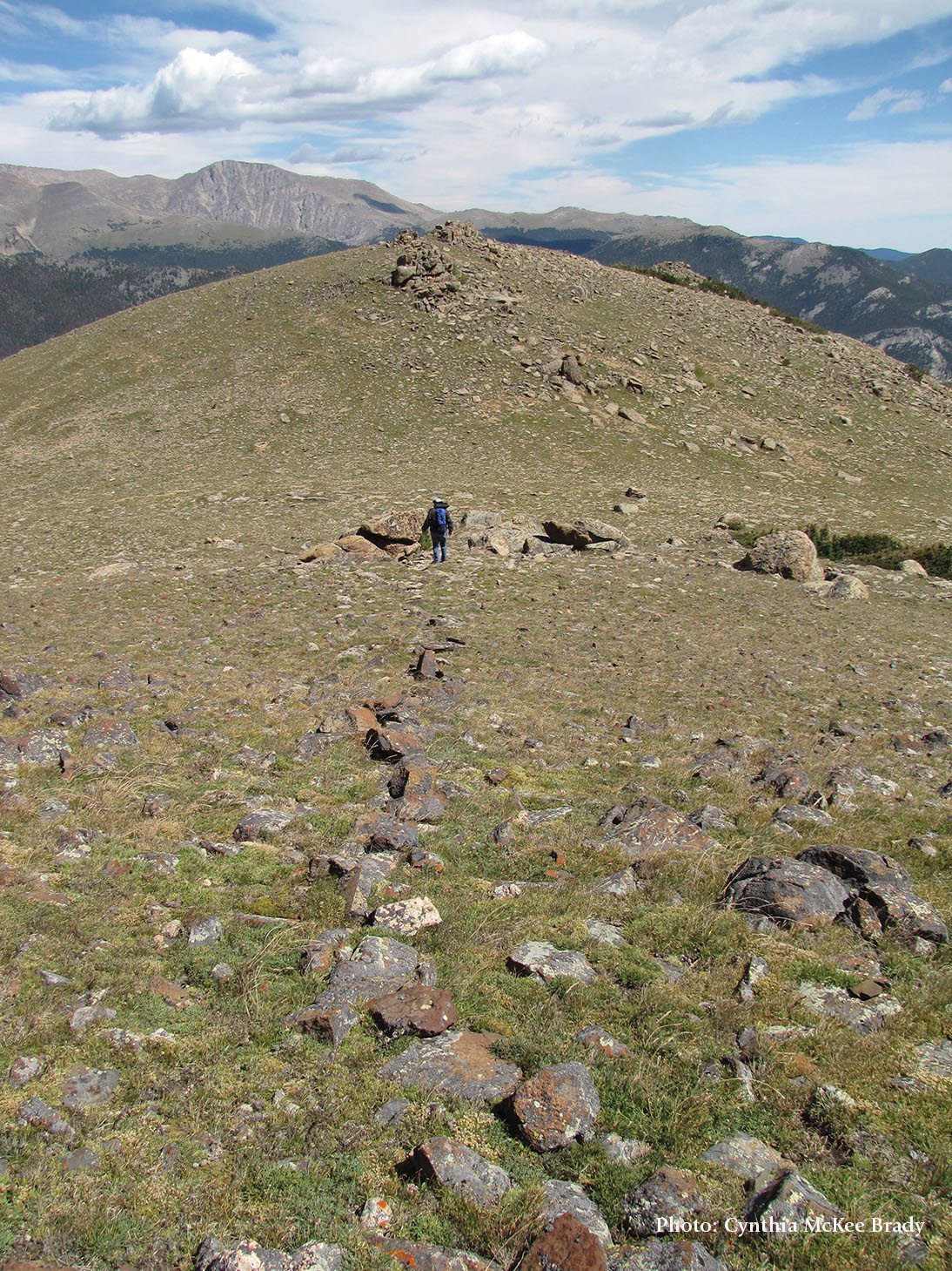
Trail Ridge Road takes Front Range residents and flatlanders alike up onto the alpine tundra in the comfort of their own vehicle, allowing access to a unique lifezone populated with unique flora and fauna that usually can only be experienced by hiking for miles. I can’t think of another place on Earth that gives such accessible passage to a world so different — from the montane or subalpine forests just a few thousand feet below, and from home, wherever that may be.
Trail Ridge Road is the number one attraction in Rocky Mountain National Park and for good reason. Not everyone can or is even interested in a hike up or around these mountains- but they can take a ride up and over the Continental Divide. The way I see it, the more people that can see this landscape with their own eyes will be drawn to protect it, to become stewards of this area for years to come.
 A placard at the end of the trail at Rock Cut reads as follows: “I cannot help but wonder if the Indian women and children who used this part of the trail enjoyed the plants that they saw, if they had names for them, and if so, what they were. And I wonder, when they walked towards the plains at the end of the summer, if they too felt a sense of sadness at a summer’s ending” (Ann Zwinger). To Ms. Zwinger I say this: I’m sure they did have names, although I can’t speak for their sense of sadness. Only for mine which I’m sure will come at the end of the summer. Until Memorial Day next year when the road opens once again.
As you take the highway to the great divide this summer, whether for the first or fiftieth time, stop somewhere new along this historic road and think about the thousands that have passed this way, from the Ute, the CCC, the rangers of yesteryear, the elk and the pika and all the visitors like you.
Alex Kay
2021 Sessel Family Fellow